DAY 8 - Tempe, AZ to Tempe, AZ
JULY 23
2406.2 mi to 2406.2 mi
I woke up and made an easy breakfast and did not leave the apartment until dinner time. I knew some days I would want to not push myself to go do something. And being in a place like Arizona where I’m so close to many many incredible things, the last thing I want to do is stretch myself so thinly by spending too much time pushing myself and not enjoying going with the flow. If anything, it’s helping me plan future trips!
I took all day to finish writing up my review of last week and then my internet cut out so I had to re-type everything. I had taken screenshots of the whole piece because I knew if I didn’t and something had happened, it would pretty much all be a lost cause. This has been equal parts journal and update but also I’m releasing it so I can look back in the future and some things just fly away as soon as I’ve released them.
So I finished this up, and Thao and I went for tacos and came back to watch the Bachelorette from last night. Those are the best kind of easy evenings.
DAY 9 - Tempe, AZ to Pacific Beach, CA
JULY 24
2406.2 mi to 2777.0 mi
I slept in again this morning, heading to San Diego to see Nicky because it’s been SO LONG. I didn’t rush too much, because the drive was only about 5 1/2 hours. Today was mostly in the car, so the scenery around me really was the star of the show.
I started off through the Sonoran Desert in Arizona right along the border. Periodically I would get texts from my service provider saying “Welcome to Mexico!” - just because of how the majority of this drive runs so close to the border. This is where you start to hit a lot of small towns with very few amenities. The areas everyone warns you about - get your gas while you can because you’ll never know when you find the next gas station.
Eventually I started driving through massive sand dunes and through a border patrol stop. Then I passed right through Felicity, CA with an advertised population of 2. It’s right on the border between AZ and CA. Then through rocky Jacumba and reservations and the last stretch was through the lower half of the Cleveland National Forest.
So many stark differences between everything I drove through today - and how smoothly the landscapes transitions from desert to forest to scrub and then city.
I got in to San Diego close to 7 and Nicky and I headed to La Jolla for catching up, Puesto tacos and margaritas and then to see some of the sunset from La Jolla Cove. Then gelato where we met two girls who happened to be on their J1 from Ireland! I am embarrassed to say I misinterpreted their accents, but it was still so nice to reminisce so much from my time in Dublin, especially being with one of the best people to me I had over there.
DAY 10 - Pacific Beach, CA to Carmel Valley, CA
JULY 25
2777.0 mi to XXX mi
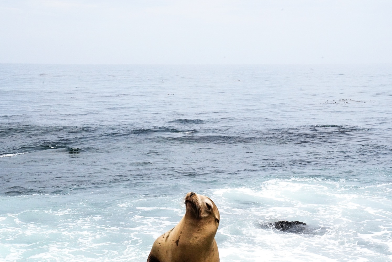
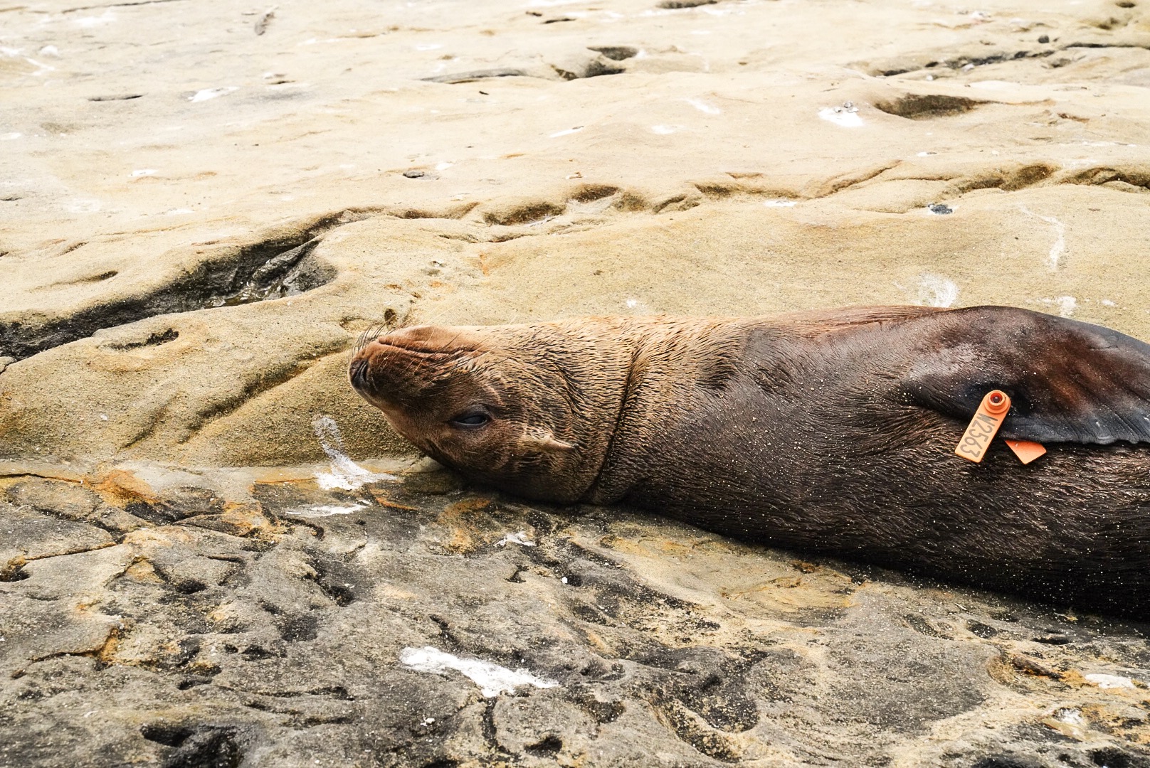
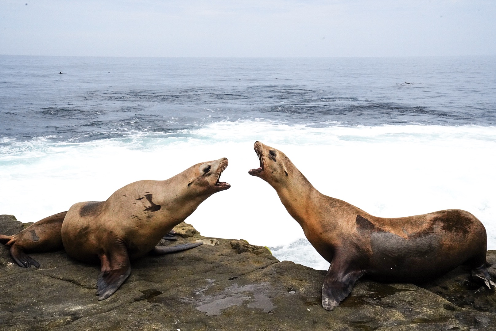
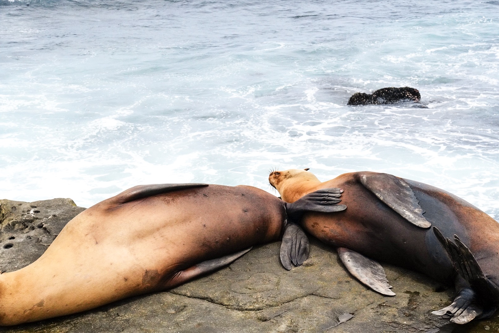
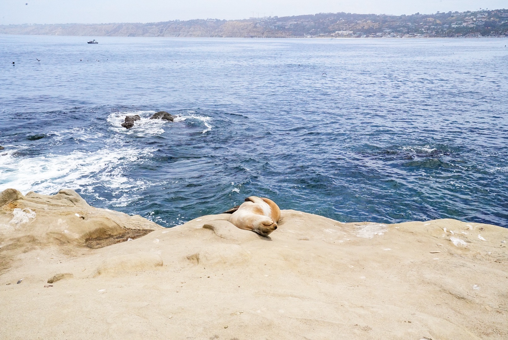
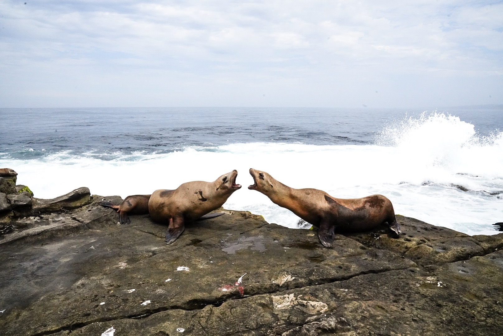
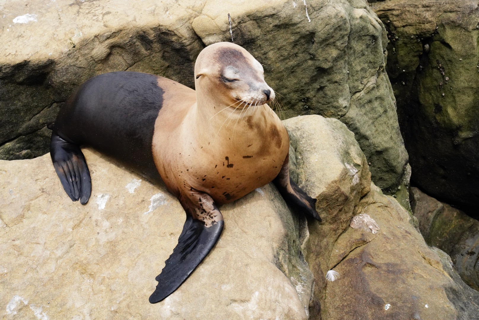
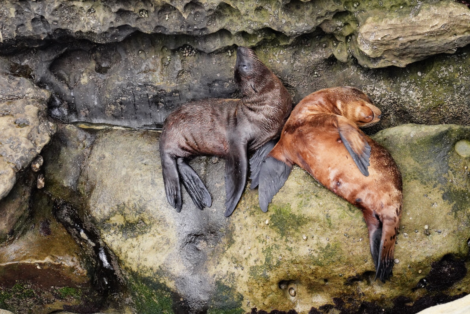
I let myself wake up naturally then I went hard core trying to see as much of Nicky’s recommendations as I could. I skipped a sit down breakfast and headed straight for La Jolla Cove to see the waters during the day and look for the sea lions. And I FOUND THEM. But they were also very hard to miss. You can hear them from a pretty far ways down the beach, and they gather a crowd wherever they are.
I had to peel away or I would have stuck around all day. Then I headed to Cabrillo National Monument to look out at the Naval Base. The park has a statue dedicated to Juan Rodriguez Cabrillo (João Rodrigues Cabrilho), the first European to set foot in California. But his heritage has been constantly debated for centuries, so was he Spanish or Portuguese? The monument and overlooks were gorgeous, it was a quiet and kind of cloudy day so visibility was ever so foggy = mysterious.
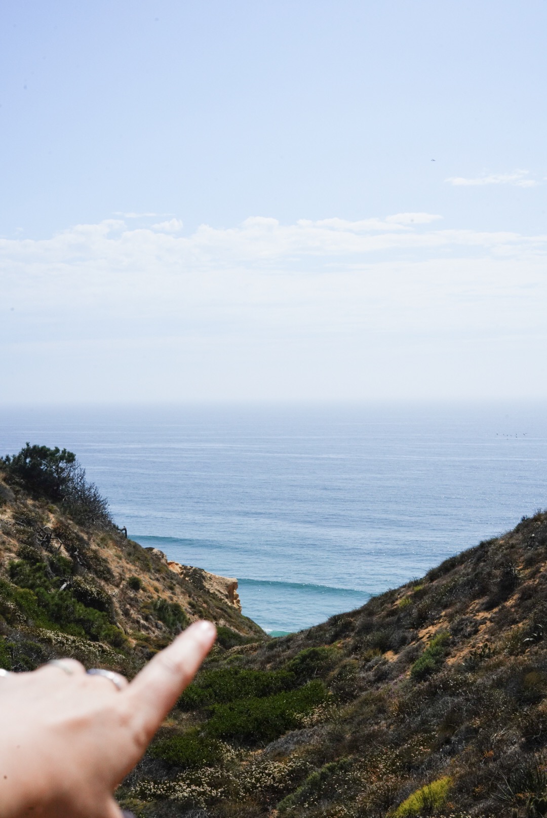
Then I headed about 30 minutes north out of the peninsula towards Torrey Pines. It’s a beautiful beach and state reserve with tons of short hikes around the place. I took the Guy Fleming trail for about 2/3rds of a mile and I had the entire quick loop to myself. Quiet beach vistas and saltbush scrub and torrey pines dotted along the little coastal trail and all I could hear were the bugs.
I took a few self-portraits and headed back to town to meet Nicky before we went into Encinitas for dinner and the sunset. We picked up her boyfriend Erik and walked to Stonesteps beach for a view of all the evening surfers and locals hanging out. Dinner at Buona Forchetta was incredible which is unsurprising because I haven’t had a bad experience yet here! We shared pizza and pasta and bruschettone and wine and chats. And the hot tub ended the night perfectly.
We had walked through the cutest neighborhoods to get to the beach, and overall I think I could definitely add San Diego to my list of “very potential cities to move to” right away.
DAY 11 - Carmel Valley, CA to Carmel Valley, CA
JULY 26
XXX mi to 2842.5 mi
Mornings by the pool! We lounged very hard this morning and I now can’t not have a pool and sunshine in the future. That and some summer smooth jazz and a view.
Late afternoon I went to coffee at Phillz in town to work on the computer.
Then we went to a Lion King themed dinner party before heading to a late showing of the new movie.
DAY 12 - Carmel Valley, CA to Joshua Tree National Park
JULY 27
2842.5 mi to 3181.0 mi
Out to the desert! I headed out to Trader Joe’s for a food stock-up and then off to Joshua Tree. It wasn’t a bad drive, only a few hours, and it was through winding roads, desert palms, lots of wind turbines and dry mountains.
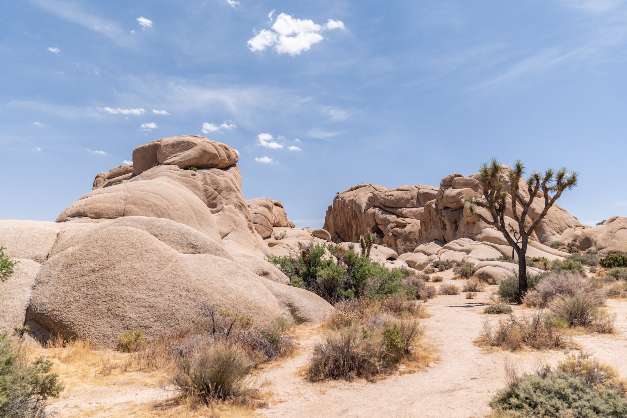
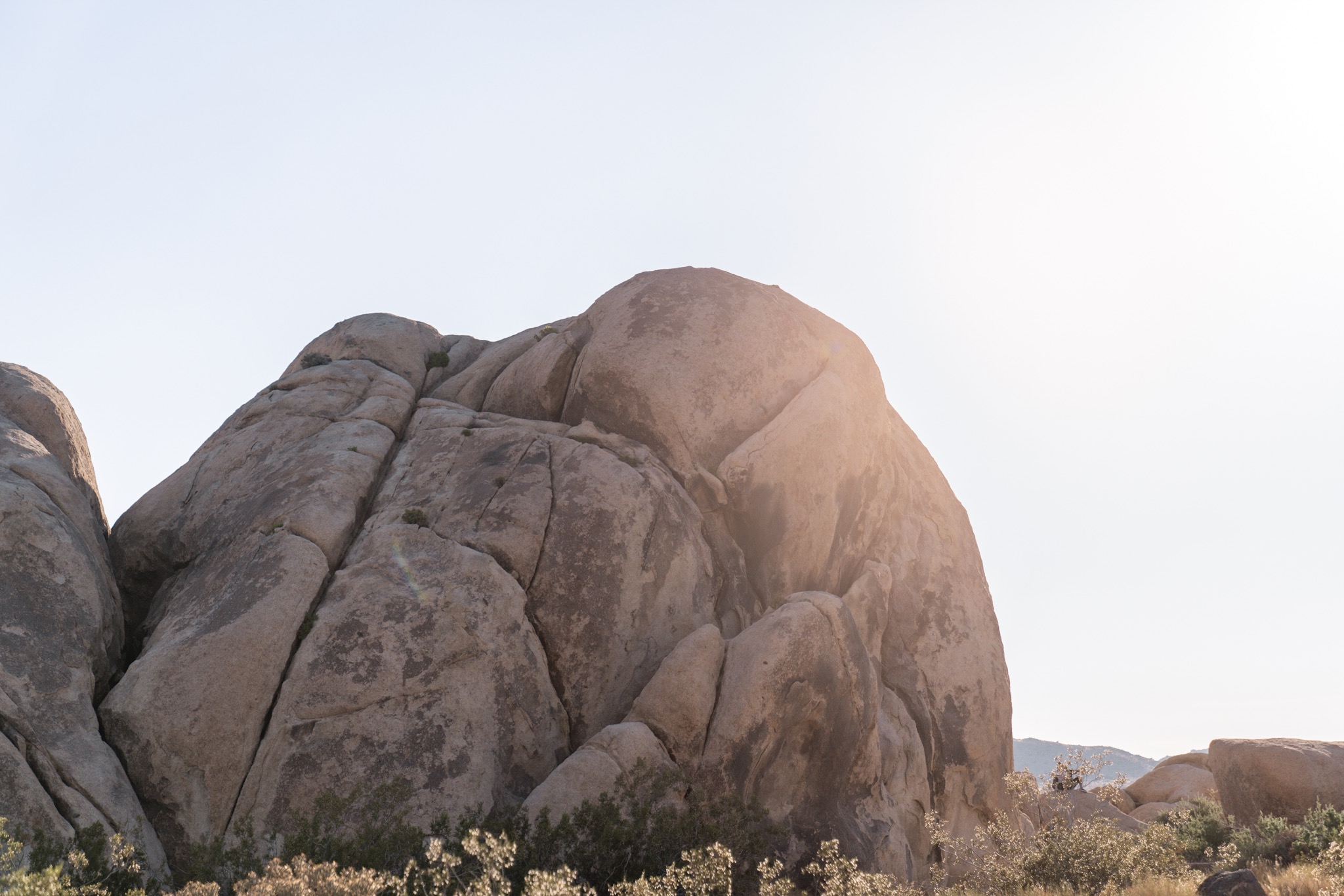
I made sure to stock up on ice and essentials before getting in to the park. I arrived to the West Entrance, towards the Hidden Valley campground where I was planning to stay. When you arrive at a campground, you puck up an envelope with an attached camp permit you fill out to clip to your numbered post and then put your payment in the envelope to seal and slip into the boxes in the entrance. I pulled in to Hidden Valley among the big boulders and Joshua trees, found my perfect spot, and then decided it was way too hot to safely spend time outside hiking around, so I left on a quest to check out the other campsites. Which in the process would bring me to all corners of the park!
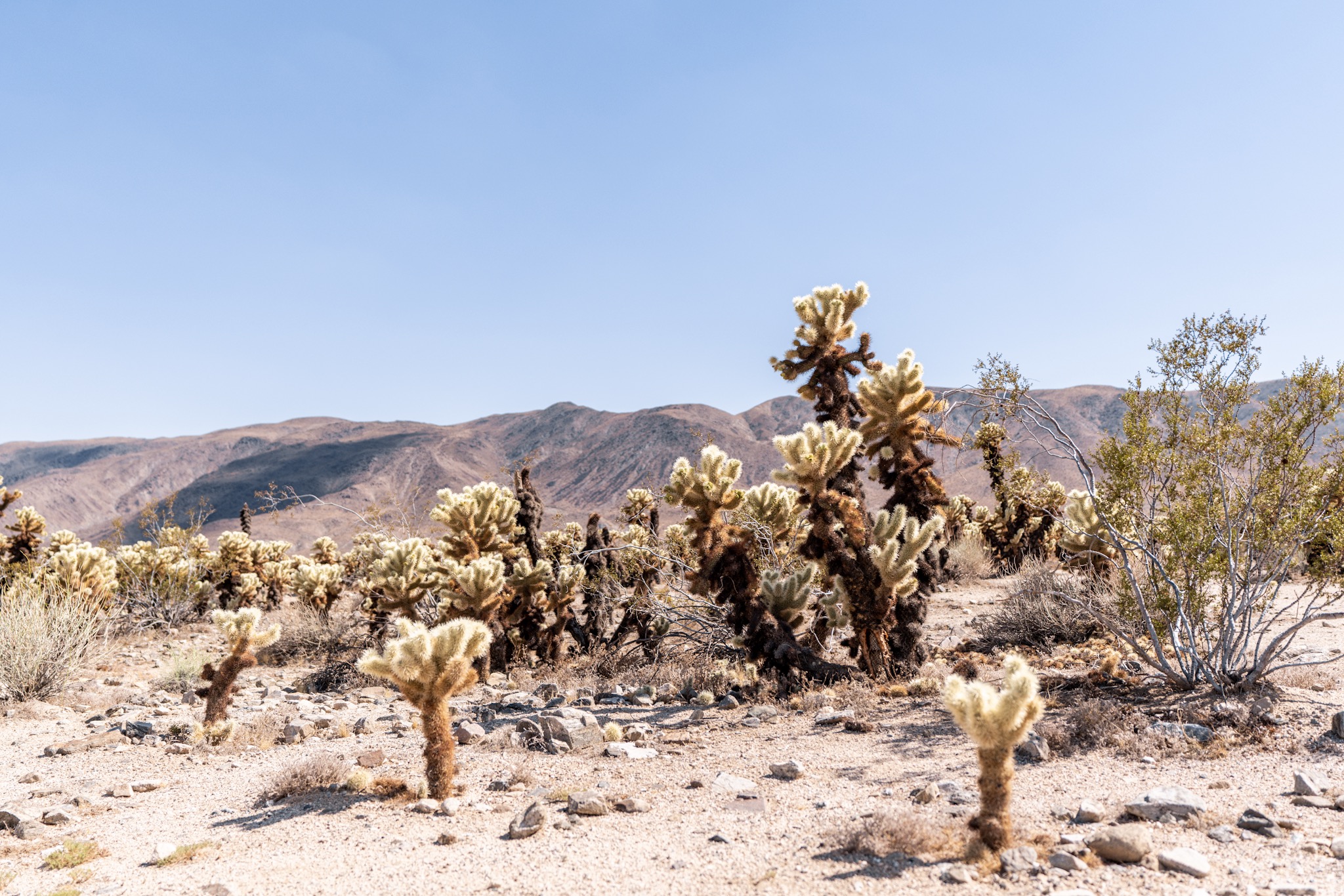
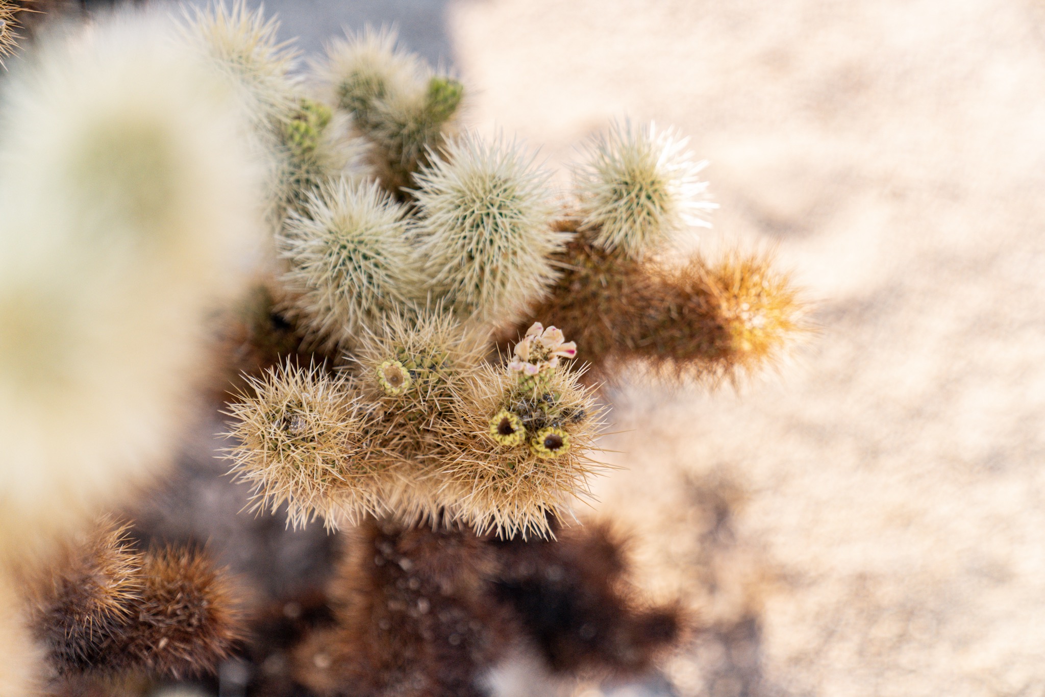
It stayed around 104 all day, and there’s absolutely no shade in the park. And there were no clouds in the sky. It made for a beautiful day but quite a hot one. I wasn’t foolish enough to think I could survive outside. I drove through the dirt roads, across from north to south. Joshua Tree is located right where the Colorado and Mojave deserts merge. Each have their own typical flora and fauna, but the boundaries are pretty blurry in the park. Joshua trees (which are actually yucca!) are more typical in the Mojave, for example. The park was pretty empty, and very driving friendly so you can still see so much just from the road. But driving across the deserts, into the South which is the Colorado desert towards the Cottonwood Mountains was a special experience, seeing the terrain change so subtly.
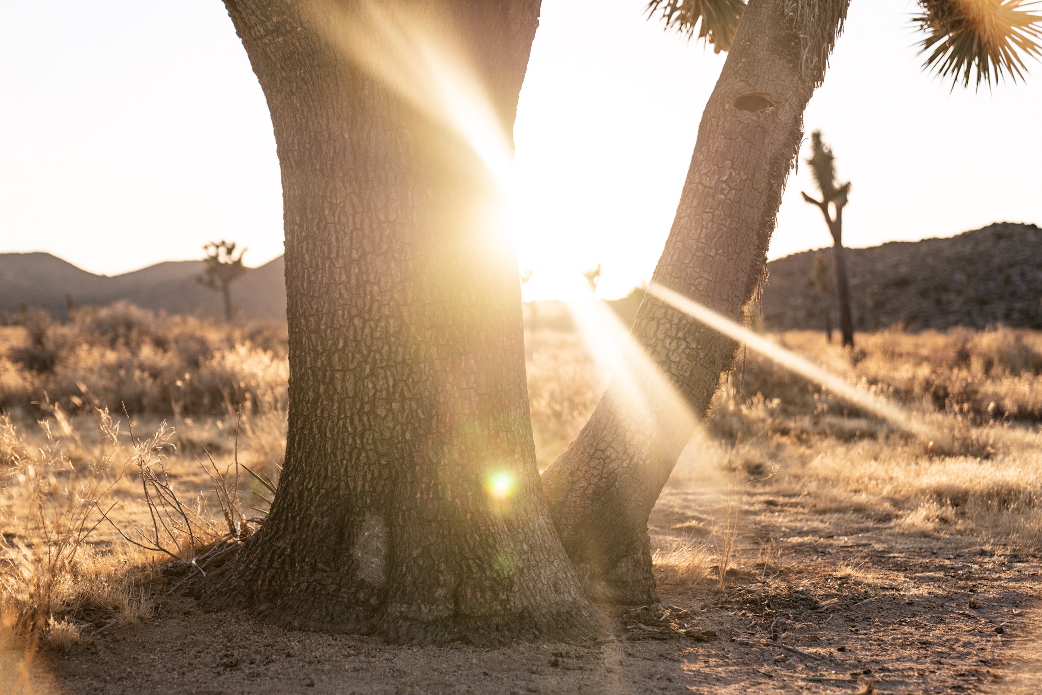
I drove and drove and stopped a bunch to look around. I decided to drive up to Key’s View, which boasted a small oasis and views of the Salton Sea and San Andreas fault line. But right at the entrance sat a “Road Closed” sign. Good thing was the sun was just about at that magical low point, bouncing golden light off all of the trees and rocks and hills. The sunset lasted 2 hours, so the drive back to my Cottonwood campsite in the south was just full of colors in the sky. Incredibly beautiful!
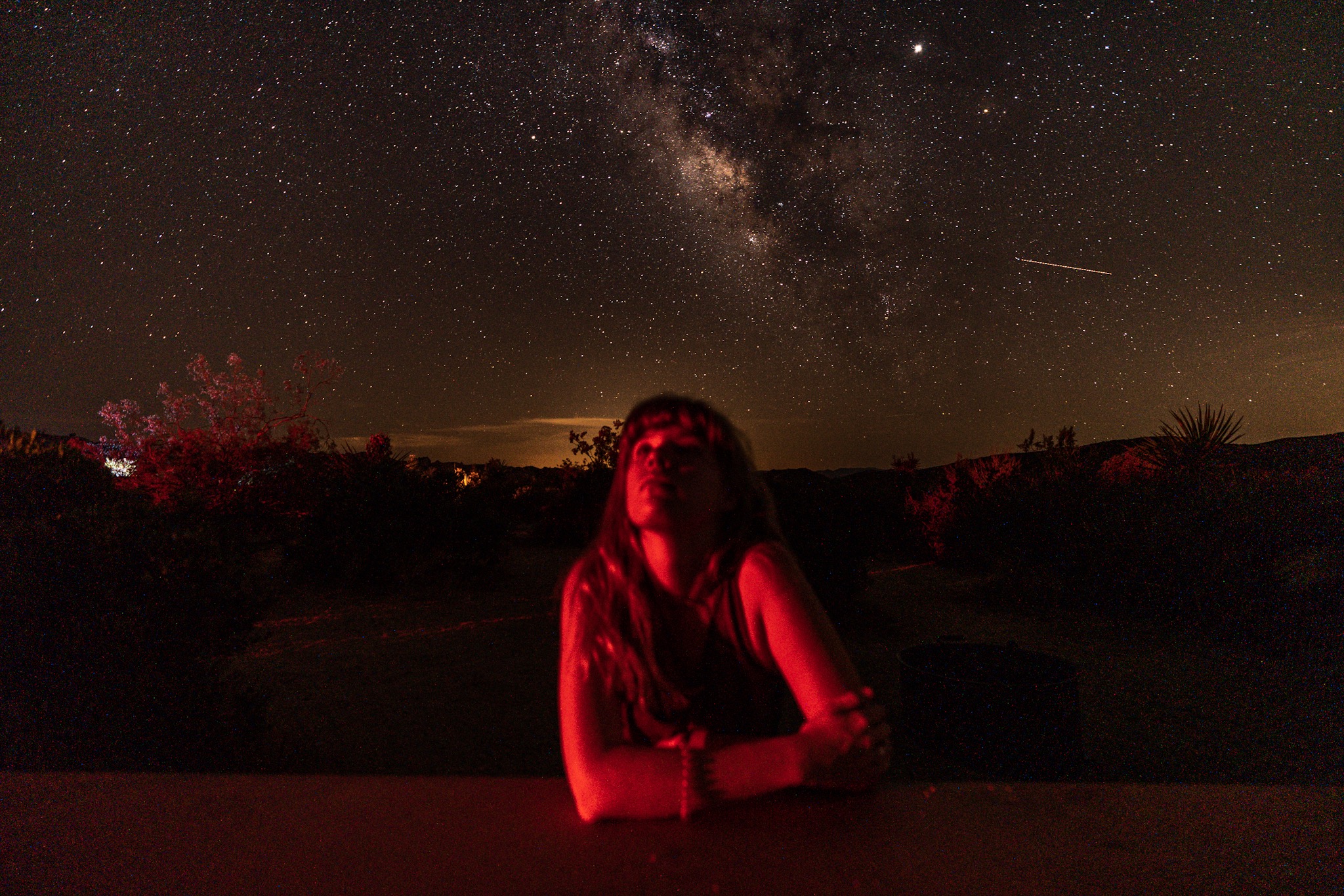
I slowly rolled in to my campsite, number 18A, with more neighbors than I had earlier. But I had perfect picnic table placement for watching the Milky Way which once again took up the entire sky. I sat with bugs around my lantern, reading an old Madeleine L’Engle book and took in the night.
DAY 13 - Joshua Tree National Park to Santa Barbara, CA
JULY 28
3181.0 mi to XXX mi
Last night was so nice, and this morning I woke up so sweaty from the sun - at 7 am! So since I was awake early enough, I decided to make to most of it and head off. I stopped some more on my way south out of the park, and recounted all of the wildlife I had seen last night and this morning. They say most of the animals are active between dusk and dawn, which is why it’s so great to camp in the parks (when you are in an authorized campsite and have the proper amount of water!). Between now and last night, I saw 7 jackrabbits, a reddish snake slither across the road on my way out, lots of little kangaroo rats, and a Western Diamondback rattlesnake slithered across the paved area behind the campsites in the morning, going between bushes. The snake attracted a small crowd, just out of respect for how slithery and seemingly unfazed it was by the people around. I’ve read they’re not prone to aggression, so unless you start stepping around their territory or provoking them, they won’t strike. Oh and a roadrunner ran right across the road in front of me on my way out! A safe distance away, but it left me looking around for coyotes ha.
I was headed in the right direction until I got far enough out of the park to pick up a cell signal. Happened right in the middle of tiny freeway. I called my parents, decided to head in the general direction of Santa Barbara but first stopped off at Salvation Mountain in Niland. There are a lot of nice things to say about that place, it’s more incredible in person than you’d think. But it was already reaching 100 outside and there’s still no shade - I’m also starting to feel the effects of the sun and not having proper hydration so I didn’t survive long out there. Between there and Joshua Tree, though, you drive through the Mecca Hills wilderness area, and the painted hills of Box Canyon which are strikingly light and smooth compared to a lot of the canyons around the desert. These are the little surprises you find along long drives which make the road so enjoyable.
Then you drive all along the Salton Sea to Salvation Mountain, and then back along towards Santa Barbara. The drive bypasses all of LA and the outer neighborhoods. I drove through Pasadena with all of the flowers, past all of the Hollywood Sign exits and Burbank with all of the big studio buildings you could see from the road. I really love the idea of LA, the history and what exists in all of Old Hollywood and everything also new about it. So stopping by wasn’t going to be worth it unless I had more time to spend around the place.
After this is when you start getting onto the 101, or the 1, or the PCH. Right around Ventura is when you start passing by the sleepy beach towns only a couple of miles long. It’s where the famous coastal views begin and all of the roadside pull offs start popping up. I decided to head to a hotel tonight in Santa Barbara because it was in close enough proximity to Big Sur for tomorrow, as well as a good place to stop - where I began and ended my last California road trip 2 years ago after Field Trip. So I’ve got a few sweet memories of State St and such right here. Plus the desert absolutely wore me out, the heat is so intense it can affect you obviously until the next day so I was okay spending a little more more for access to a shower, potable water, and a mattress not 6 inches from the ceiling. I got into town around 4pm and sat and binged TV and hydrated and snacked and slept like a baby.
DAY 14 - Santa Barbara, CA to Sunnyvale, CA
JULY 29
XXX mi to XXX mi
Big Sur Big Sur Big Sur. Bug Sur! I reached out to my aunt for ideas on where to stop along the highway headed towards Monterey, and she did the research for me on campgrounds and more as I headed up north. I had my continental breakfast, sat with my coffee and google maps for a bit, then took off.
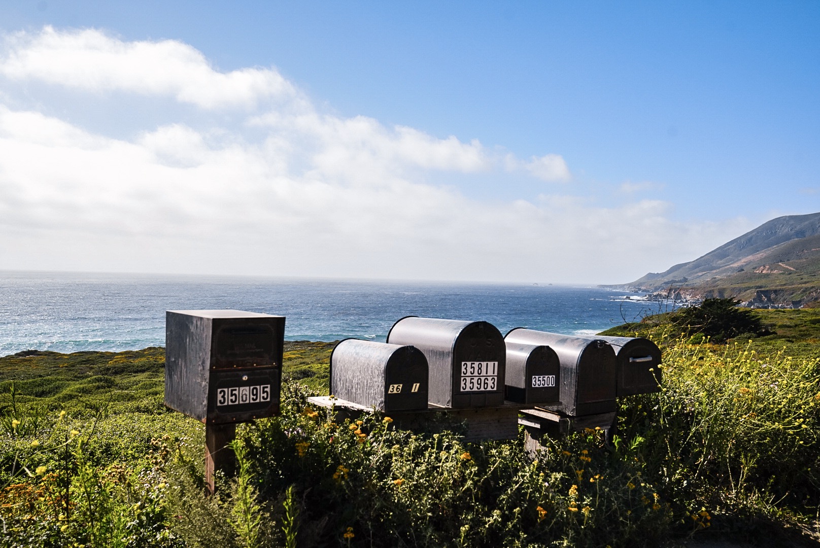
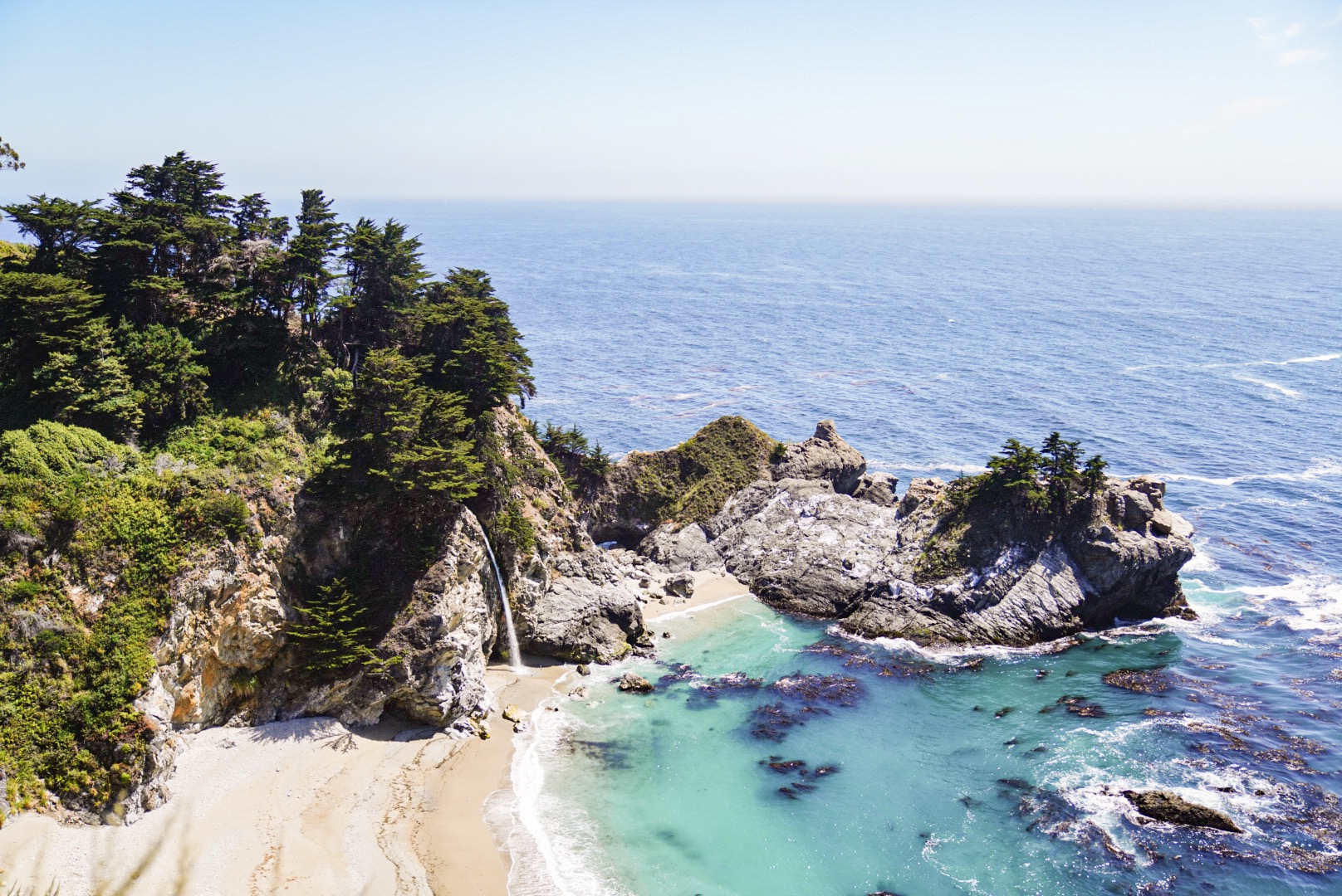
The route on the 1 takes you inland some right at first, through Los Padres National Forest, which was where I drove through on that same trip 2 years ago. I passed by sweet towns (like Harmony) with small populations and all you could see from the road were short pull-offs leading hikers into the headlands. Once you’re back on the coast, you start getting into the mountains. Super similar to the drives along the Amalfi Coast where it’s sometimes just a few feet from the car in the right lane and the cliffside.
On the straight shots not in the mountains, the highway is divided so if you’re heading north you can still see the beaches and views without the southbound cars in the way. But at the same time, the tight winding roads along the mountain travel both directions so you push your luck finding pull-offs to look out at the water.
So Big Sur is what I’ve always associated the area with, but actually heading northbound on the 1 takes you first through Los Padres again, the same park you drive through leaving Santa Barbara. And there’s no fee along the highway, just lots of one-lane roads and traffic buildups because everyone and their mother wants to stop and look around. And so do I!
As I travelled along, all the campsites were full, and there’s no service so not much of a way to look around for more campsites not right off the road. All day I had been unsure of whether or not I wanted to camp out or head father up to San Jose to stay with my friend Kelly for the night. I stopped maybe every 10 minutes during the 4-ish hour drive today, so in a moment of fatigue, I texted Kelly and headed out of the park to drive through Monterey and into San Jose. For all of the people around today, it was still a peaceful and quiet drive - I daydreamed a lot of daily life around these towns and the stories of everyone else traveling through like me.
Then I made it to Kelly’s right when the sun was so bright on the highway that I missed a few of my turns. Kelly made a yummy dinner and it was so nice not waiting a year to see each other. We caught up and sat on the back porch as the sun went down and her roommates joined us. It was a really sweet evening, and I went to sleep very unsure about my plans for tomorrow except, to San Francisco I go!
WEEK 2 - Tempe, AZ to Sunnyvale, CA
JULY 23 - 29
2406.2 mi to XXX mi
